
IMAGERY APPLICATION / 01
A new perspective
on agriculture.
Observe vegetation and land patterns across wider areas. Suitable satellite imagery can complement the knowledge you already have on the ground.
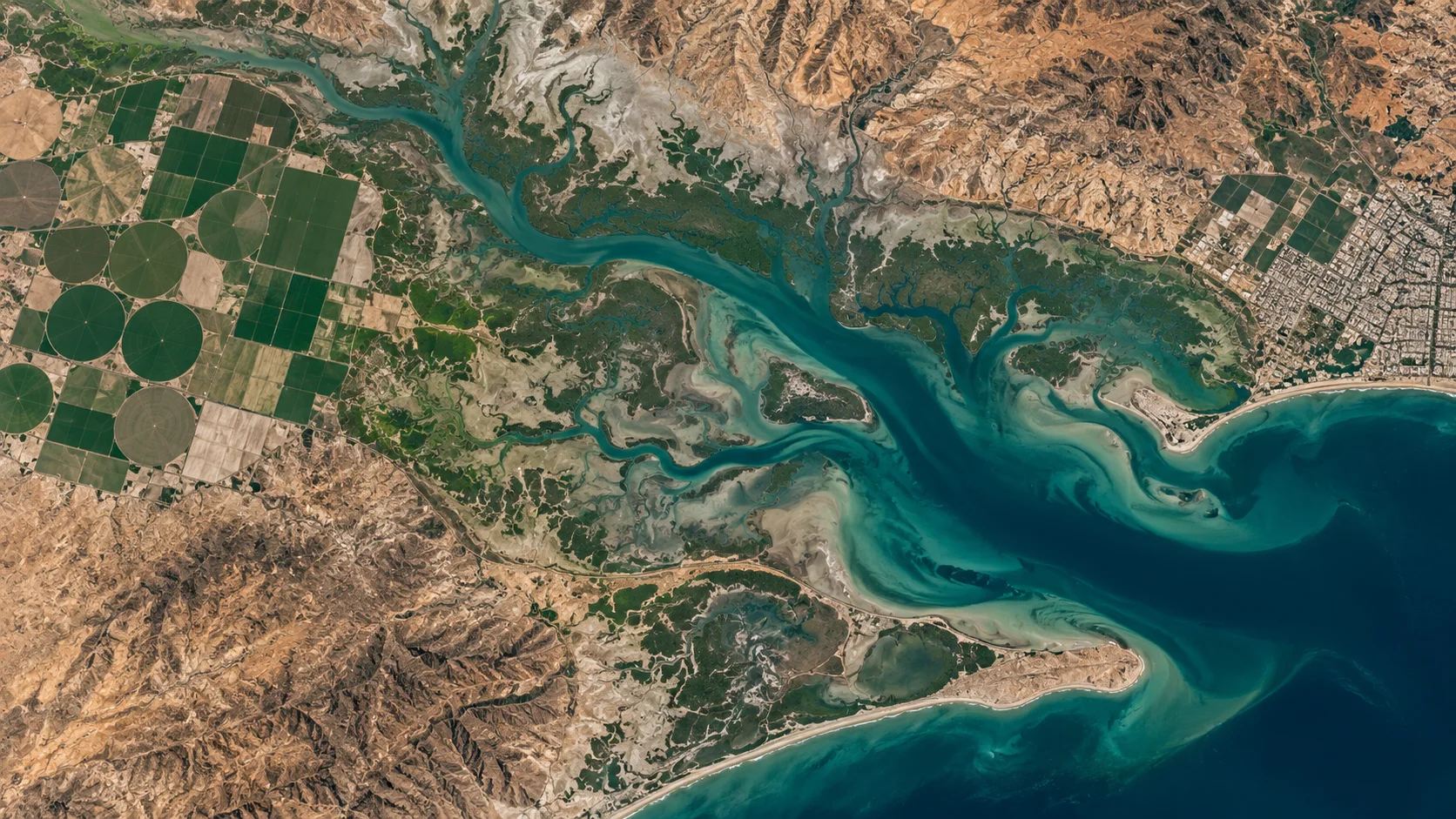
Illustrative landscape · Not a live satellite feed
SEE PATTERNS ACROSS YOUR FIELDS
From individual plots
to a wider landscape.
Agricultural imagery can help you compare fields and acquisition dates, identify areas for further inspection and plan where to focus fieldwork. The value depends on the sensor, timing and quality of the source data.
01
Vegetation patterns
Multispectral observations may support vegetation indices such as NDVI when the required bands and processing are available.
02
Land and water context
Observe field boundaries and visible changes in land cover. Irrigation or soil-moisture analysis needs suitable data and a defined method.
03
Change over time
Compare suitable observations across dates. Differences in season, cloud, illumination and processing must be considered.
Imagery supports inspection.
It does not replace it.
Vegetation stress does not identify a specific disease by itself. Yield estimates, soil properties and disease assessments require appropriate models, local information and validation. No yield increase or diagnostic accuracy is guaranteed.
Bring these details to your enquiry
| Location | Farm boundary or area of interest. |
| Timing | Crop calendar, historical dates or observation window. |
| Purpose | Vegetation comparison, land context or another defined task. |
| Output | Required bands, pixel size, format and permitted users. |
START WITH YOUR AREA OF INTEREST
A wider view
of your growing world.
Share your area of interest and the agricultural question you want to investigate.