
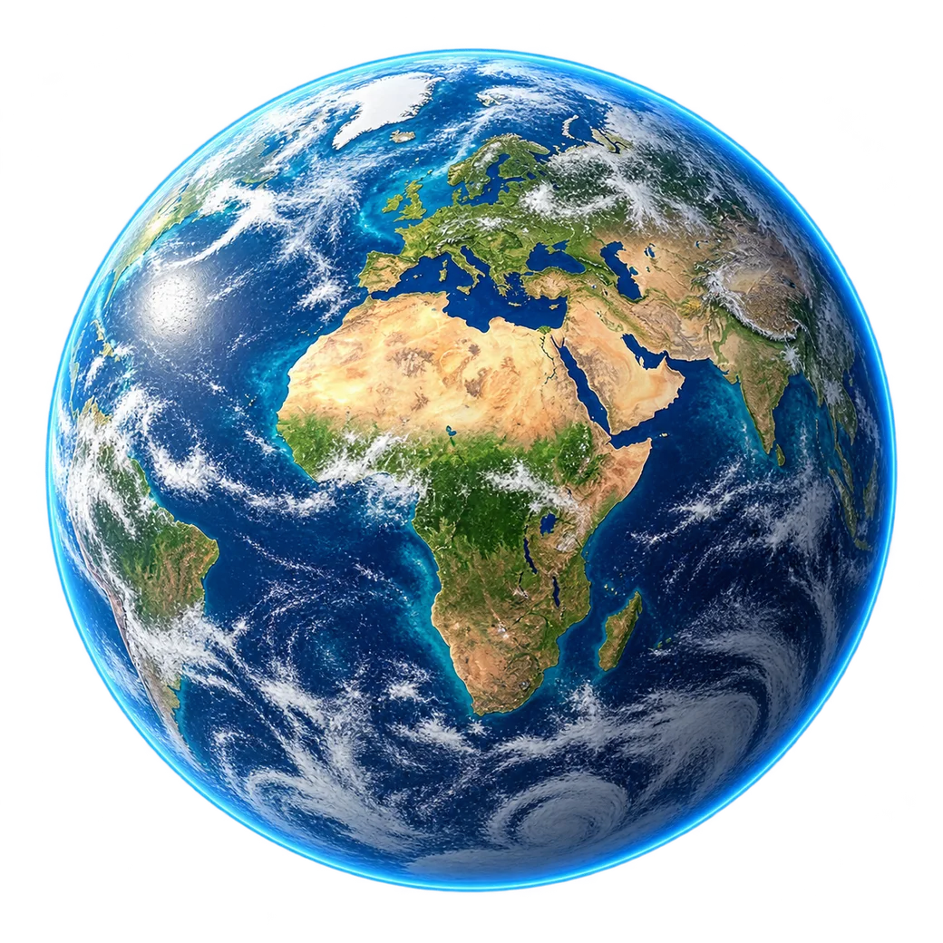
IMAGERY APPLICATION / 02
Understand a world
that keeps changing.
Explore satellite observations for land cover, water and environmental change. Compare the right datasets to ask better questions about the world around you.
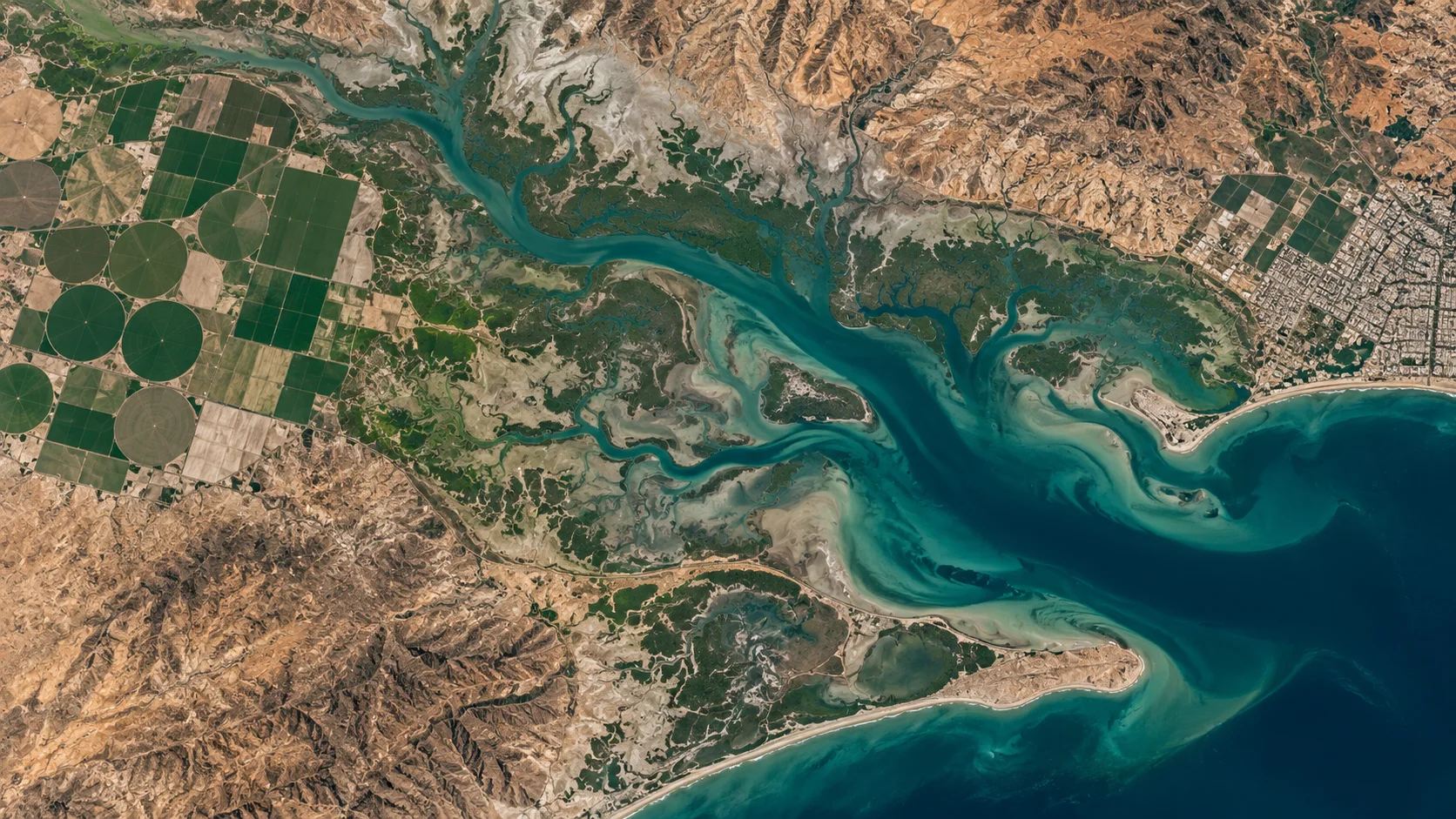
Illustrative landscape · Not a live satellite feed
OBSERVATION WITH CONTEXT
See change.
Build understanding.
Environmental projects often need observations from more than one date and more than one source. A well-defined scope helps distinguish a visible change from a conclusion that needs further evidence.
01
Land cover
Compare suitable imagery for changes in vegetation, development and landscape patterns.
02
Water and coastlines
Observe water extent and visible coastal change. Water quality and depth require appropriate sensors and validated methods.
03
Post-event assessment
Suitable imagery may help map visible flood extent or damage after an event, subject to safe interpretation and available observations.
Long-term questions
need long-term evidence.
Climate conclusions require consistent, quality-controlled observations across an appropriate period. A single image cannot establish a climate trend. This service is not an emergency warning system or an earthquake prediction service.
START WITH YOUR AREA OF INTEREST
Your environmental question.
A wider field of view.
Tell us the area, observation dates and environmental context your project needs.