

SATELLITE IMAGERY
Every project starts
with a place.
Define where you need to look, the dates that matter and the detail your project requires. Explore the purchasing platform or ask us to scope your imagery request.
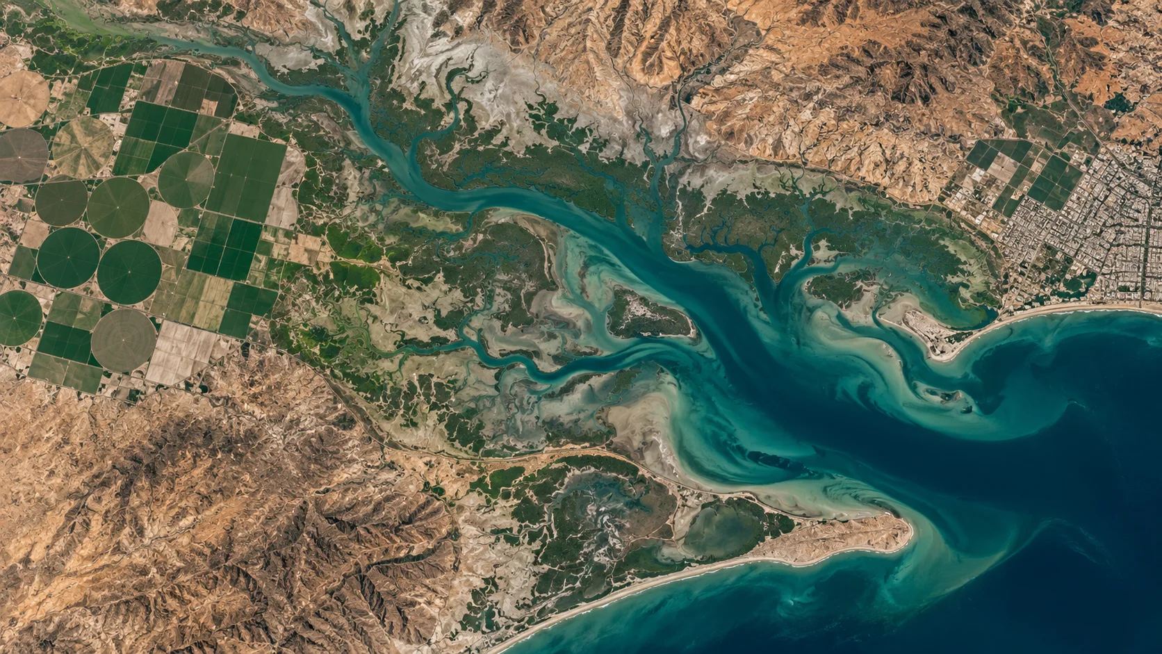
Illustrative landscape · Not a live satellite feed
CHOOSE THE RIGHT OBSERVATION
More useful data starts
with better questions.
01
Your area
Share a boundary, a place name or coordinates. Confirm that you are entitled to request imagery for the intended use.
02
Your time window
Specify historical dates, the most recent suitable observation or a future acquisition request, subject to source availability.
03
Your requirements
Tell us the intended use, needed detail, spectral information, output format and any licence restrictions.
What to confirm before you buy
The specifications of the selected dataset determine whether it suits your project. Confirm these details on the purchasing platform or in the written quotation.
| Capture date | When the source observation was acquired, including the relevant time window. |
| Spatial resolution | The supplied pixel size and its suitability for your intended analysis. |
| Sensor and bands | Optical, radar or other data options where available; each has different capabilities. |
| Cloud and quality | For optical imagery, the usable coverage, cloud conditions and relevant quality information. |
| Format and projection | GeoTIFF or another agreed format, coordinate reference system and accompanying metadata. |
| Use and delivery | Permitted users, redistribution limits, delivery method and expected timing. |
THE PURCHASING PLATFORM
Ready to explore
available imagery?
Purchases are handled at zamzam.geotiff.ai. Review the selected product, data licence, price and order terms there before you pay.
GOOD QUESTIONS, CLEAR ANSWERS
Satellite imagery, explained.
Do you supply real-time imagery?
We handle requests for real-time or recently acquired imagery subject to source availability. Satellite revisit schedules, acquisition conditions and processing affect access. Confirm the actual acquisition date, latency and delivery terms for your order; this website is not a live satellite feed.
Can I request a specific location?
Provide the location or area boundary and your intended use. Coverage, source permissions and other applicable restrictions must be checked before an order is agreed.
Is GeoTIFF available?
GeoTIFF is a common format for georeferenced raster imagery. Confirm whether the selected product includes GeoTIFF, its coordinate reference system, bands and metadata.
Can I share or resell the imagery?
Only if the applicable data licence expressly permits it. Access to a file does not automatically grant redistribution, resale or publication rights.
Where do I purchase imagery?
Use the Buy imagery button to open zamzam.geotiff.ai. Product availability, prices, payment and order terms are presented by that platform.
START WITH YOUR AREA OF INTEREST
Your next project.
A new perspective.
Tell us where you need to look, what you need to see and when you need the imagery.