
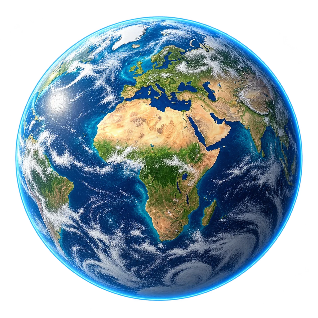
IMAGERY APPLICATIONS
Different questions.
A wider perspective.
Explore how suitable satellite imagery can support agriculture, environmental observation and geospatial workflows.
01 / AGRICULTURE
Understand your land.
Explore vegetation patterns and compare suitable observations across dates.
02 / ENVIRONMENT
Observe a changing world.
Explore imagery for land cover, water extent and environmental context.
03 / AI & GIS
Start with better inputs.
Define fit-for-purpose imagery for your geospatial workflow.
START WITH YOUR AREA OF INTEREST
Your next project.
A new perspective.
Tell us where you need to look, what you need to see and when you need the imagery.