
IMAGERY APPLICATION / 03
Better inputs.
More useful analysis.
Source imagery with your GIS or AI workflow in mind. The right dates, bands, resolution and metadata matter before the analysis begins.
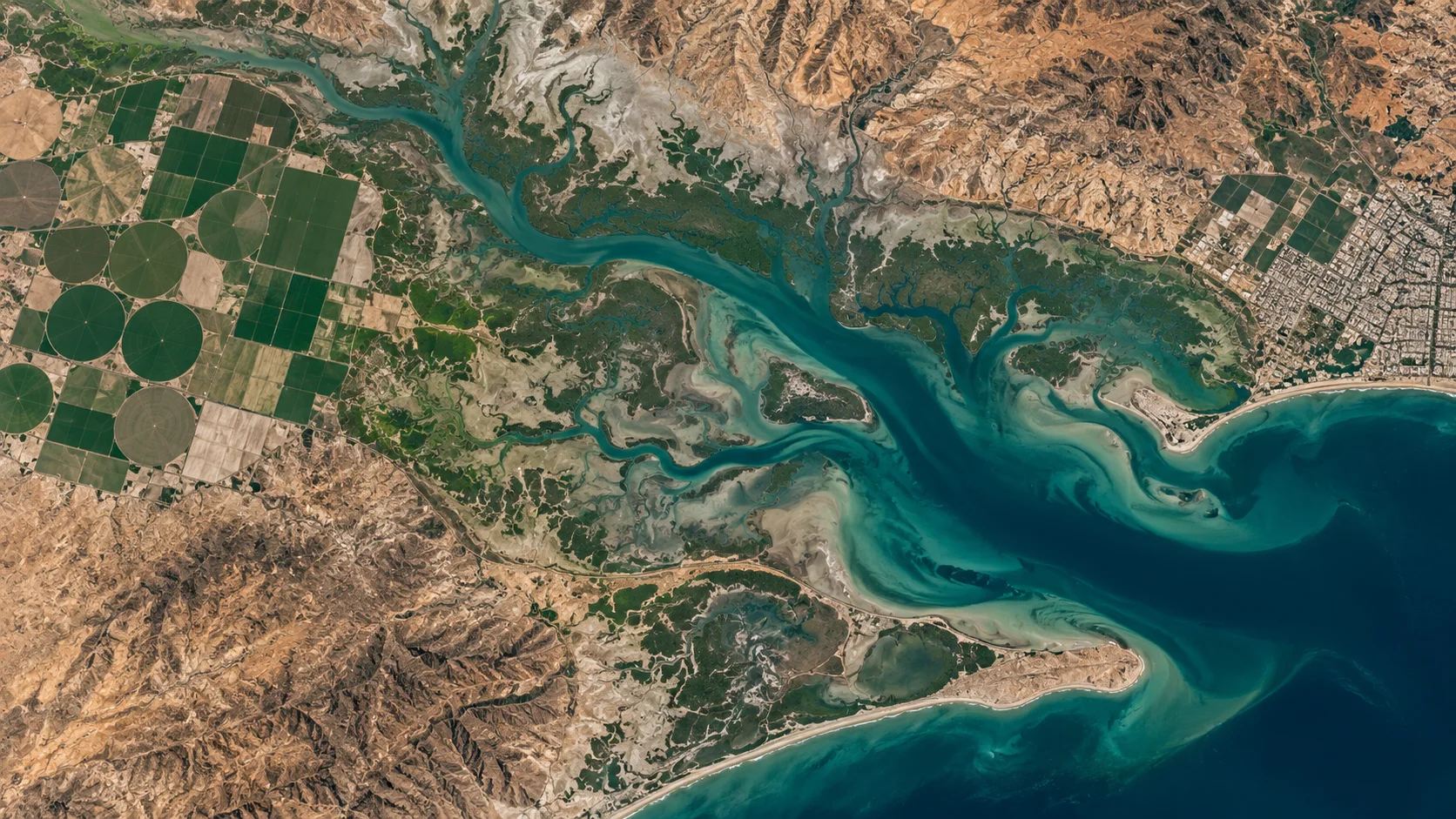
Illustrative landscape · Not a live satellite feed
START WITH FIT-FOR-PURPOSE DATA
The intelligence starts
with the input.
Satellite imagery can be used in classification, object detection and change-analysis workflows. Analytical performance depends on the chosen workflow, suitable input data and independent validation.
01
Define the task
Specify what you want to identify, compare or measure, and how the result will be validated.
02
Check compatibility
Confirm spectral bands, bit depth, projection, spatial resolution and format for your software or model.
03
Review rights
Check whether the dataset licence permits your analysis, model training, derived outputs and intended sharing.
GeoTIFF is a format.
Readiness is a specification.
A GeoTIFF can store georeferencing alongside raster pixels. Compatibility with a GIS or model still depends on the coordinate system, band structure, metadata and preprocessing requirements. Confirm those details before ordering.
START WITH YOUR AREA OF INTEREST
Bring your workflow.
Define your data.
Tell us your intended analysis and the imagery specifications it needs.